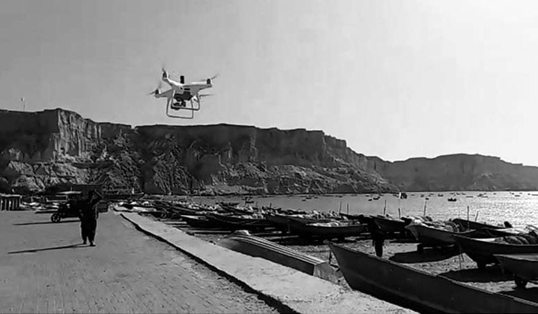
Aerial Photography At MAPTech we capture aerial photographs using HD Quad Copters and Fixed Wing Drones as per requirement which enables us to take vertical and oblique photographs (looking straight down over a target site or looking from the side at a site) at any location under strong winds system and cloud cover. We are providing drone photographs and services…
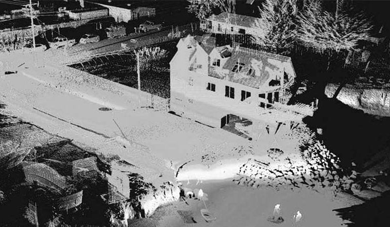
Lidar / 3D Laser Scanning All planning, design, and construction projects are dependent upon precise and detailed land surveying to ensure that architects, planners, and engineers have an accurate understanding of the site. For ensuring said objective and conducting accurate topographical, cadastral, engineering, road inventory, leveling, transmission line, route design, and pipelines surveys from small scale to districts, suburbs, metropolis…


