
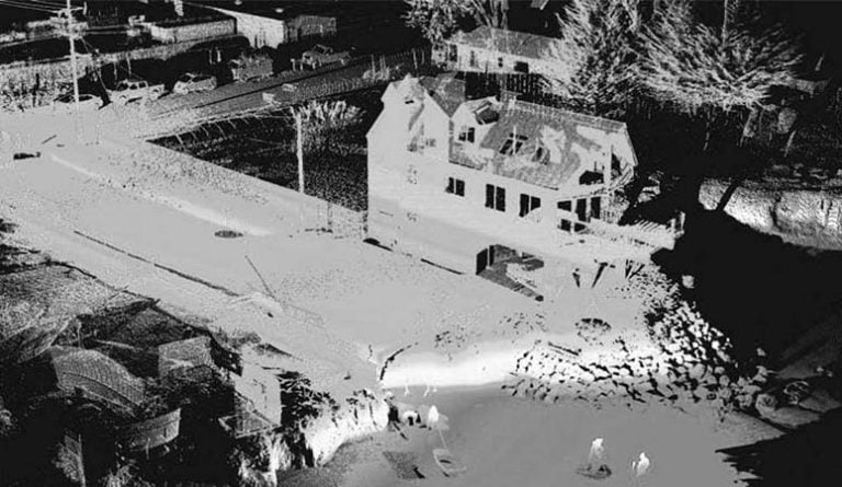
Lidar / 3D Laser Scanning
All planning, design, and construction projects are dependent upon precise and detailed land surveying to ensure that architects, planners, and engineers have an accurate understanding of the site. For ensuring said objective and conducting accurate topographical, cadastral, engineering, road inventory, leveling, transmission line, route design, and pipelines surveys from small scale to districts, suburbs, metropolis scale we are using state of the art technology and latest equipment including RTK/Garmin GPS, Trimble DGPS, Sokkia Total Stations, and Pentax Level Machines for 2D and 3D rapid data collection with minimal site disruption, Minimum risk and saving cost and time. You can get a complete photographic record (If required) as a bonus!Ground surveying is possible in any weather conditions and at short notice and is more accurate than aerial surveying for a considerable parcel of land. MAPTech has a team of professional land surveyors with extensive field experience in data collection, data processing, and management, preparation of 2D plans and 3D models, conversion of data in various GIS formats, Revit models, and AutoCAD drawing formats. 3D models such as TIN mesh, DEM, and various volumetric calculations executed using our surveyed data portray the real-world picture.