INCREASING SAFETY, OPTIMIZING PRODUCTIVITY, EMPOWERING DATA.
Receive most aerial imagery within 2 business days after we fly your property or worksite. We provide affordable drone photography and video service packages that are tailored to your specific industry needs providing ROI-positive & actionable data.
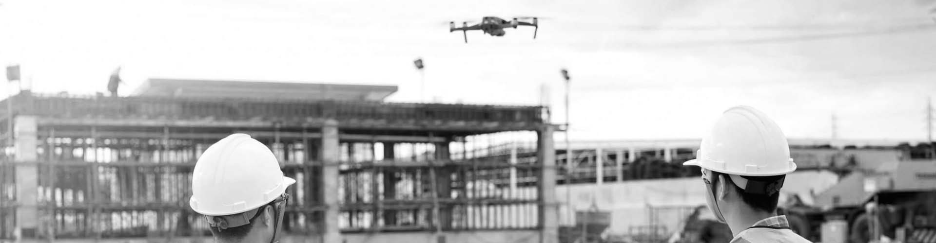
Drones make capturing aerial photos and videos a snap for all project types. They are excellent tools for providing shots from unseen angles, unique perspectives, and getting the entire project in the frame. Whether your construction project is on land, or on water, we can photograph it from the sky.
INSPECTION SERVICES
We offer a wide range of inspection services for rooftops, storage tanks, cell and radio towers, solar panels, and bridges. Safely collect actionable data of your subject with high-definition aerial images. Understand the condition of a structure and the current equipment installed. Make better, more informed decisions enabled by drone photography.
CONSTRUCTION CYCLE MONITORING
Construction site progress monitoring and documentation are made easy by timely and relevant drone imagery.
SURVEYING & MAPPING
Get maps geo-referenced orthomosaics, and real-time project updates. Take measurements from aerial photographs and convert images of land masses into maps, 3D models, or drawings.