GIS & Remote Sensing Division
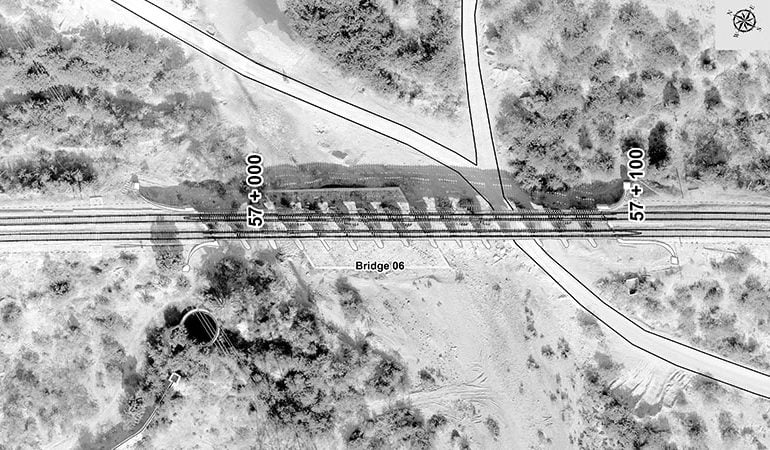
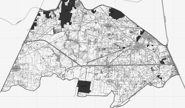
Geographical data acquisition, collection, processing, and analysis by using GIS and Remote Sensing technology is another star to our profile. By using high-resolution satellite images, remotely sensed images, and survey data we are capable of creating GIS data sets for building patterns, population distribution, urban growth, environmental studies, natural resources, land use/land cover, road network, and utilities, etc.
By using such geographical data analysis such as NDVI, Habitat Mapping, Cost / Benefit, Crime Location Hotspot, Forest Fire Control, Hydrology and Water Resource Management, Oil and Mineral Exploration, Navigation and Tracking System, Real Estate, Soil & Water Analysis, and network analysis can be performed to better utilize and understand the land use and social scenarios of society.
At MAPTech we have a team of experienced mapping professionals who are capable of converting the bulk amount of raster and vector data in various GIS, CAD, and Revit data formats and deployment of complete enterprise GIS as per the requirements of the client. Enterprise GIS services include software & hardware installation, configuration and performance tuning, development of multipurpose enterprise geo-databases, development of GIS and web portals. We provide the latest GIS and mapping capabilities with a dedicated staff of industry professionals and use state-of-the-art technology to deliver the right solution for mapping and GIS problems to our clients.