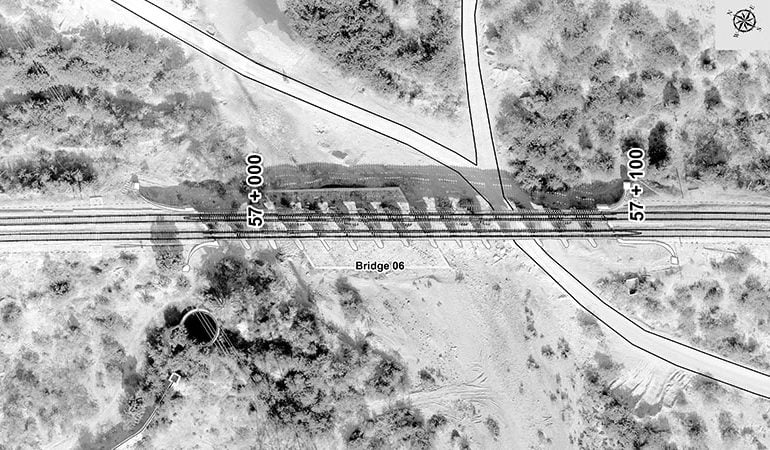
Environmental Impact Analysis (EIA) We have successfully completed several small and large scale EIA projects pertaining to the development of residential and commercial high rise buildings, dam site development, Highways, wetland reserves, excavation impacts, pesticide dumps, wind farms, air, and noise pollution, biodiversity, coastal and marine biology, ecological risk assessment, noise and air impact assessment, solid waste management, urban and…

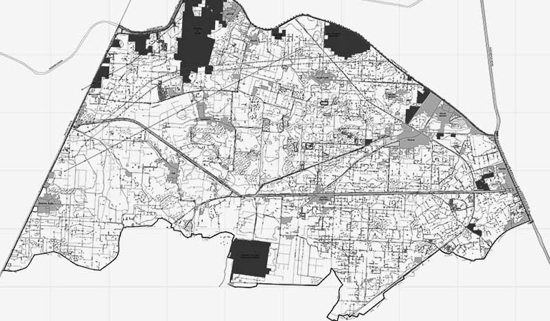
Mapping & Analysis Common problems cannot be solved without intervention and intervention is impossible without visualization offered by ‘Maps’. Mapping and spatial analysis are central functions of Geographic Information Systems (GIS), which provides analyzing capabilities and visual interpretation of data more accurately and presentable compare to the outputs of other software. It is an accepted fact now that about 80%…

Data Development/Digitization Accurate and precise vector data (.shp, .gdb) is essential for any type of GIS-based solution service. We have a mapping professional team from domains of Geography, Geology, and Environmental Sciences with extensive experience in creating GIS datasets of Land Use, Land Cover, Vegetation Cover, Wet Lands, Topography, Natural Resources, Transportation, Utilities, Drainage System, Facilities Allocation, Building Patterns, Population…
