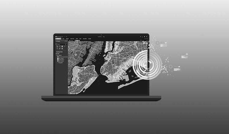
MapTech
  • Home
  • About Us
  • Services
    • Agri Solutions
    • Surveying
      • Lidar / 3D Laser Scanning
      • Aerial Photography
    • GIS & Remote Sensing
      • Data Development/Digitization
      • Mapping and Analysis
      • Environmental Impact Assessment (EIA)
    • GIS Based Applications
      • ArcGIS Enterprise Deployment
      • Local Governance Solution
      • Utilities Mapping Application
      • Geo Marking / Location Based Services
  • Drones & Equipments
  • Products
  • Contacts
MAPtech-Icon
  • Home
  • About Us
  • Services
    • Agri Solutions
    • Surveying
      • Lidar / 3D Laser Scanning
      • Aerial Photography
    • GIS & Remote Sensing
      • Data Development/Digitization
      • Mapping and Analysis
      • Environmental Impact Assessment (EIA)
    • GIS Based Applications
      • ArcGIS Enterprise Deployment
      • Local Governance Solution
      • Utilities Mapping Application
      • Geo Marking / Location Based Services
  • Drones & Equipments
  • Products
  • Contacts

What We Offer

MAPTech core team consists of highly qualified, competent, and professional staff internationally well-renowned researchers, academicians, and technologists with extensive experience in areas of Geospatial Engineering, GIS, Remote Sensing, Surveying, Mapping, Geo-informatics training and consultancy services, engineering projects design, Enterprise GIS development and management.

Surveying Division
Surveying
GIS & Remote Sensing Division
Surveying
GIS Based Web/Mobile Applications
Surveying
Agri Solutions
Surveying

LET'S FLY...

Info
  • Industrial & Engineering
  • Property Tours
  • Photography
  • 360 VR
  • The Bird’s Eye View
Services
  • Agri Solutions
  • Surveying
  • GIS & Remote Sensing
  • GIS Based Applications
Links
  • Our Team
  • Clients
  • Contacts

SIGNUP TO NEWSLETTER

OCLITS MapTech © 2025. All rights reserved.