Our Core Services Divisions

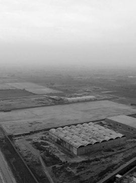
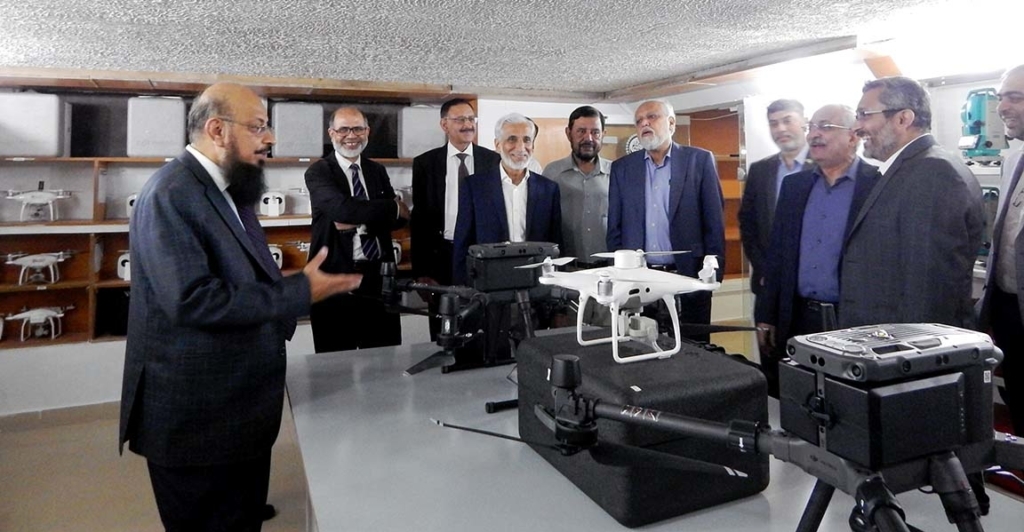
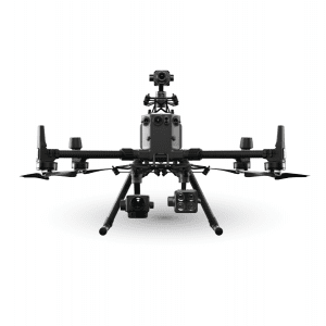
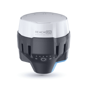
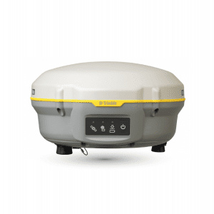
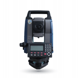
Surveying Division We are specialized and registered from Survey of Pakistan in conducting topographical, cadastral, engineering, and as-built surveys, the establishment of benchmarks, base stations with accurate and precise horizontal and vertical accuracy by using state of the art technology of DGPS, Total Station, and Drone services. The drones we used for conducting large-scale surveys are more accurate and reliable…
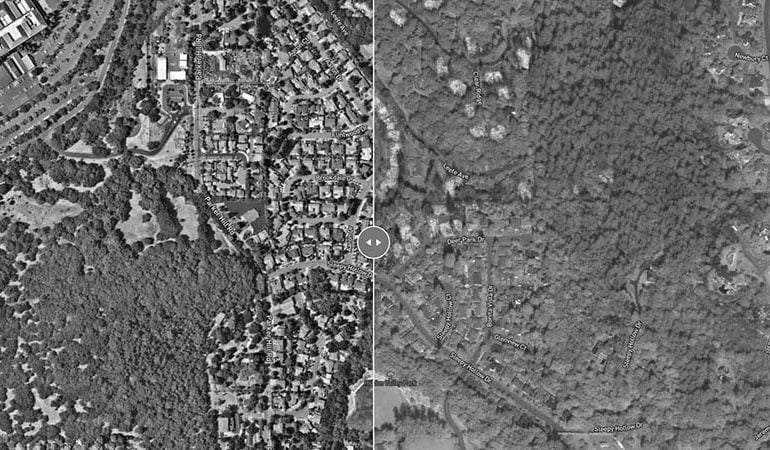
GIS & Remote Sensing Division Geographical data acquisition, collection, processing, and analysis by using GIS and Remote Sensing technology is another star to our profile. By using high-resolution satellite images, remotely sensed images, and survey data we are capable of creating GIS data sets for building patterns, population distribution, urban growth, environmental studies, natural resources, land use/land cover, road network,…
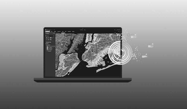
GIS Based Web/Mobile Applications We provide training and solution regarding core GIS technologies integration, Enterprise level GIS solutions to our clients for secure enterprise deployment on-premises or in the cloud, Data Management, Discovery and Analysis, Mapping, Visualization, and Sharing Information through customized web mapping and surveying applications with Android & IOS Apps development. Our experienced GIS professionals and software engineers…
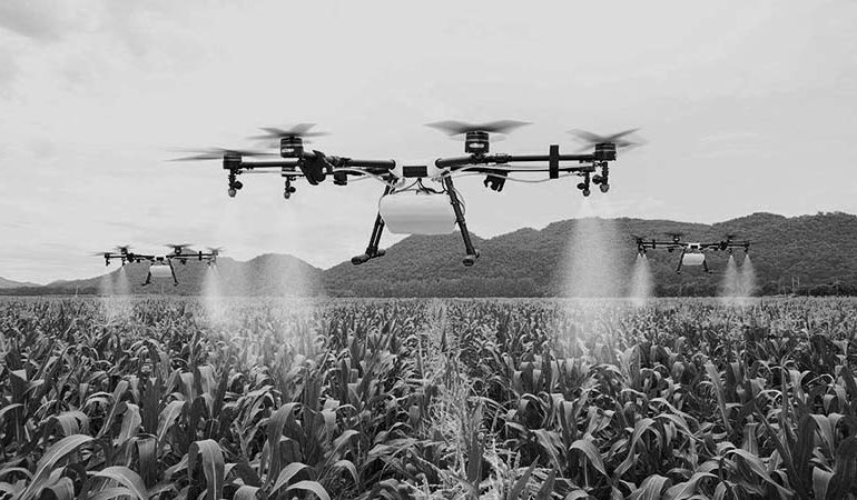
Agri Solutions Agriculture is one of the most desired choices to traditional farming tools and UAVs are a leading tool being used globally. Together with multispectral cameras, drones can capture vegetation transformations and parameters that are otherwise only possible by satellite imagery. UAVs in precision agriculture offer all the benefits of mapping and survey together with multispectral imagery (near-infrared, red-edge,…